

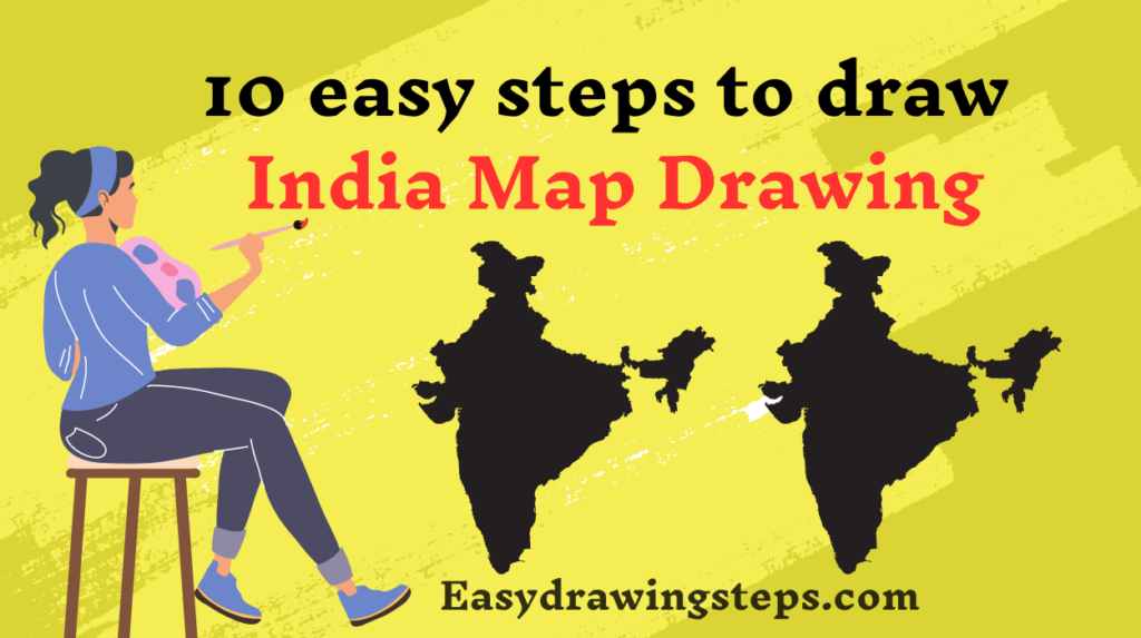
India Map Drawing : Drawing the map of India can be an educational and engaging activity, suitable for both kids and beginners.
Whether you want to create a simple outline or add vibrant colors, these 10 easy steps will guide you through the process.
Let’s explore how to draw the map of India!
Materials Required for India Map Drawing
- Paper
- Pencil
- Eraser
- Colored pencils or markers (optional)
Step 1: Outline the Basic Shape
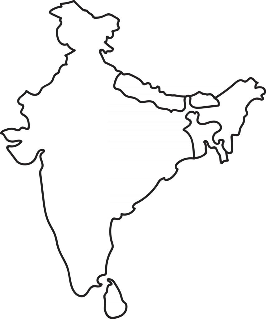
Start by drawing a rough outline of India’s shape on your paper. Focus on the overall shape of the country, including its distinctive peninsula in the south and the Himalayan mountain range in the north.
Also Read : 10 easy steps to draw Panda Drawing
Step 2: Add the Northern Border
Draw a series of jagged lines along the top of the map to represent the Himalayan mountain range, which forms India’s northern border with China and Nepal.
Step 3: Sketch the Eastern Border
Continue drawing the outline along the eastern border of India, tracing the curves of states like West Bengal, Assam, and Arunachal Pradesh.
Also Read : 10 easy steps to draw Anime Girl Drawing
Step 4: Complete the Southern Border
Draw a smooth line along the southern coast of India, capturing the outline of states like Tamil Nadu, Kerala, and Karnataka.

Step 5: Trace the Western Border
Outline the western border of India, following the coastline of states like Gujarat and Maharashtra, and marking prominent features like the Rann of Kutch and the Gulf of Kutch.
Also Read : 10 easy steps to draw Mango Drawing
Step 6: Add Detail to the Map
Once you have the basic outline of India’s shape, add details such as the borders of neighboring countries (Pakistan, China, Nepal, Bhutan, Bangladesh, and Myanmar) and important geographical features like rivers and lakes.
Step 7: Sketch Major Cities
Mark the locations of major cities on the map, such as New Delhi, Mumbai, Kolkata, Chennai, and Bangalore. You can represent these cities with small dots or circles.
Also Read : 10 easy steps to draw Cow Drawing
Step 8: Outline States and Union Territories
Divide the map into India’s 28 states and 8 union territories by drawing faint lines to delineate their boundaries. You can refer to a reference map for accuracy.
Step 9: Add Color (Optional)
If you’d like to add color to your map, use colored pencils or markers to fill in the different regions. You can choose traditional colors for each state and union territory, or use your creativity to make the map vibrant and eye-catching.
Also Read : 10 easy steps to draw Rocket Drawing
Step 10: Final Touches
Once you’ve outlined the states, union territories, and major cities, go over your lines with a pen or marker to make them more defined. Erase any stray pencil marks to clean up your drawing, and your map of India is complete!
Tips for India Map Drawing for Kids
- Break down the drawing process into simple steps.
- Use a reference map of India to guide the outline and placement of cities.
- Encourage creativity by allowing kids to choose their own colors for the map.
India Map Drawing Easy for Beginners
- Start with a rough sketch of the basic shape before adding details.
- Use light pencil strokes to map out the borders and features before committing to permanent lines.
India Map Drawing with Colour
- Experiment with different color schemes to make the map visually appealing.
- Use colored pencils or markers to fill in the states and union territories, rivers, and other geographical features.
Outline India Map Drawing
- Focus on capturing the overall shape and key features of India’s geography.
- Use clear, bold lines to outline the borders of the country, states, and union territories.
By following these easy steps, you can create a beautiful and informative map of India.
Whether it’s for a school project, a geography lesson, or just for fun, drawing the map of India is a great way to learn about the country’s geography and explore your artistic skills.
So grab your drawing materials and start mapping out the incredible land of India today!
FAQ
What are the key geographical features to include when drawing the map of India?
Include the Himalayan mountain range, Indo-Gangetic Plains, Deccan Plateau, major rivers, and coastal regions.
How can one ensure accuracy when drawing the borders of Indian states and union territories?
Refer to an accurate map, sketch outlines lightly before finalizing, and double-check locations of major cities.
What are some creative ways to add color to an India map drawing?
Use traditional state colors, experiment with vibrant color schemes, add patterns for geographical features, and use symbols or icons.
How can children make their India map drawing more engaging and educational?
Add labels and fun facts, use colorful symbols, create a legend, and encourage exploration and discussion.
What are some tips for beginners drawing the map of India for the first time?
Start with a rough sketch, use reference maps, break down the process into steps, sketch lightly, and focus on capturing the overall geography.
nr095n
7sfsek